Funding of $282,000 available that enables people to activate community projects and events in the city’s former residential red zones.
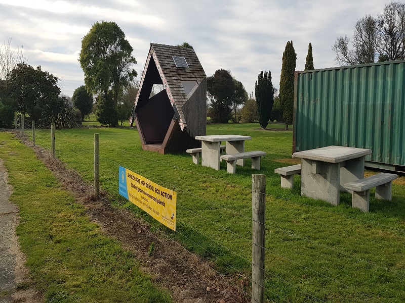
The Red Zones Transitional Use Fund is open to individuals, community organisations and social enterprises to help new projects in the Ōtākaro Avon River Corridor, Southshore, South New Brighton, Brooklands and the Port Hills regeneration areas.
The fund aims to strengthen connections between the regeneration areas and nearby communities, provide recreational opportunities for Christchurch residents, improve the land’s environmental and ecological health, and enable new and innovative ideas to be tested on the land.
People and groups can apply at any time until the Red Zones Transitional Use Fund is fully allocated.
Interested parties can find out more information on the process and the parameters of the funding and fill out an application form online.
Applicants must have a transitional land use approved from Land Information New Zealand before they apply for funding.
Community In The Red Zone
Ōtākaro Avon River Corridor Regeneration Plan
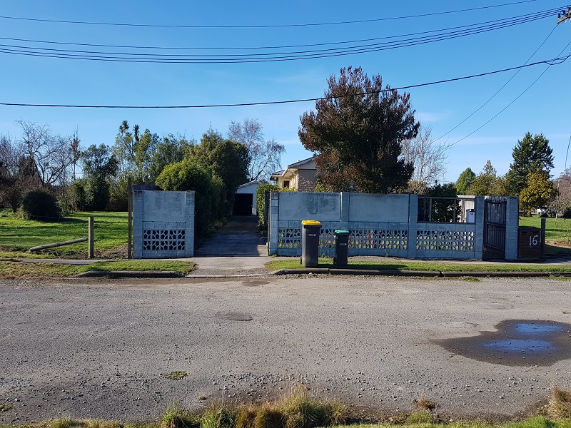
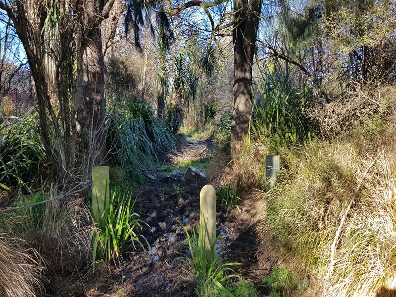
600 ha of green space running from the city to the coast along the lower Ōtākaro Avon River, the red zone is mostly cleared residential areas as a result of the Christchurch earthquakes.
Over 7500 dwellings were demolished after the Christchurch earthquakes with the people moving to other areas within or outside of the city.

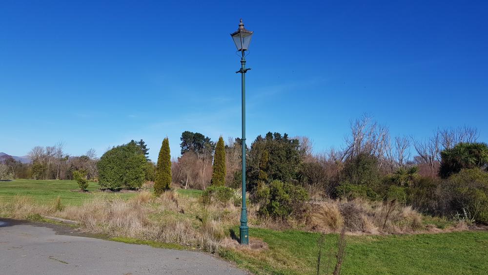
The Green Spine forms the core of the Regeneration Area. About eleven kilometres long and extending up to 150 metres on both sides of the river, it provides the thread that brings the area together.
An emphasis on the restoration of native habitats and the provision of infrastructure for walking and cycling means that the Green Spine will have a predominantly natural character with recreational opportunities.
Development of the Green Spine will enable enduring public access to the river, which in turn will stimulate a sense of community stewardship of the area.
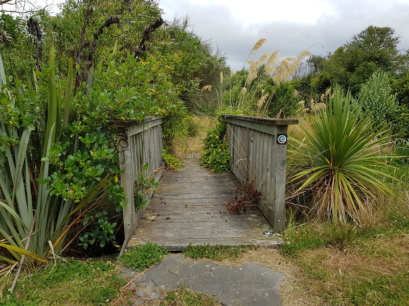
Provision for a new City to Sea path would provide pedestrian and cycle access along the Green Spine, and lateral pathways and four footbridges would reconnect communities with the area. A Cultural Trail following the City to Sea path would provide insights into the social, cultural and environmental heritage of this land.
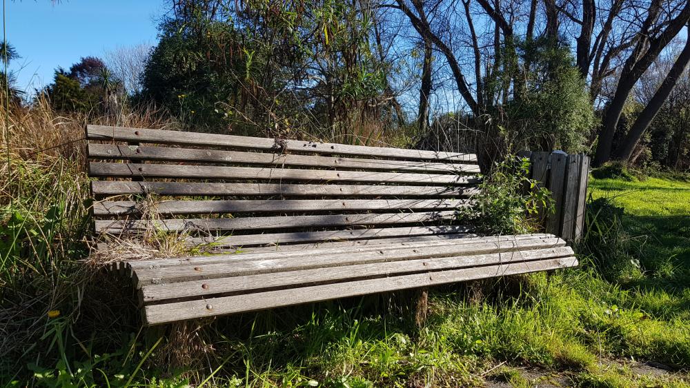
It is envisaged the Green Spine will include walking paths, nature trails, cycleways, and community spaces such as picnic spots and barbeque areas, as well as large areas of ecological restoration and wetlands.
Three footbridges, a riverside landing and a restored band rotunda are set to appear along the Ōtākaro Avon River.
These projects include three pedestrian/cycle bridges at Medway Street, Snell Place and Aranui and a riverside landing near Dallington so as to make the river more accessible to people
As outlined in the Regeneration Plan that the Council approved, the footbridges and Dallington landing will form part of a 350-hectare “The Green Spine will eventually consist of seven riverside landings, formed and unformed walking and cycle trails, and regenerating native forest.
The Council also received a $1 million Appeal Trust grant for the restoration of the Thomas Edmonds Band Rotunda.
The regeneration of the Avon River corridor is a once in a lifetime opportunity.
Hopefully the people of Christchurch will get the opportunity to be listened to, with regards to the implemented plans ability to provide a positive impact on the surrounding areas the river passes through.
Summary of the concept for the area
- Landscape character changes from residential character (pre-earthquakes) to open parkland (existing post-earthquakes) to proposed predominantly native restoration.
- Extensive ecological restoration provides a range of native habitats and stormwater treatment areas.
- Network of stopbanks are terraced into the landscape providing improved flood protection for surrounding residential areas.
- A new City to Sea path and Cultural Trail along the river provide for greater recreational opportunities and celebration of heritage values.
- Four new footbridges and shared paths connect communities across the river and with the City to Sea path.
- Eight landings are placed at regular intervals as well as parks and spaces for community connection.
- Proposed edge housing provides passive surveillance to improve edge conditions where required.
- Proposed areas for trial and adaptive housing.
- A widening of the river near Kerrs Reach to provide training and regattas for flatwater sports.