Funding of $282,000 available that enables people to activate community projects and events in the city’s former residential red zones.
The Red Zones Transitional Use Fund is open to individuals, community organisations and social enterprises to help new projects in the Ōtākaro Avon River Corridor, Southshore, South New Brighton, Brooklands and the Port Hills regeneration areas.
The fund aims to strengthen connections between the regeneration areas and nearby communities, provide recreational opportunities for Christchurch residents, improve the land’s environmental and ecological health, and enable new and innovative ideas to be tested on the land.
People and groups can apply at any time until the Red Zones Transitional Use Fund is fully allocated.
Interested parties can find out more information on the process and the parameters of the funding and fill out an application form online.
Applicants must have a transitional land use approved from Land Information New Zealand before they apply for funding.
Community In The Red Zone
Ōtākaro Avon River Corridor Regeneration Plan
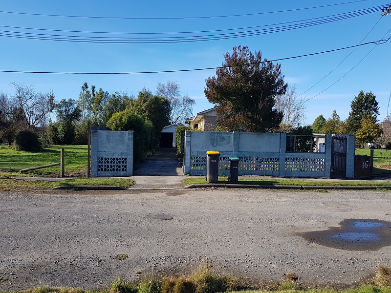
600 ha of green space running from the city to the coast along the lower Ōtākaro Avon River, the red zone is mostly cleared residential areas as a result of the Christchurch earthquakes.
Over 7500 dwellings were demolished after the Christchurch earthquakes with the people moving to other areas within or outside of the city.


Christchurch Red Zone
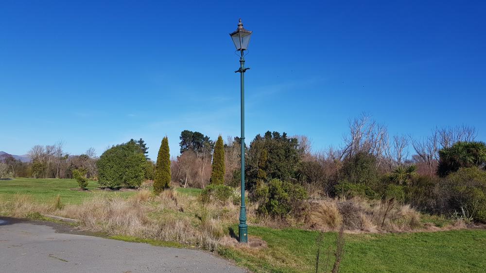
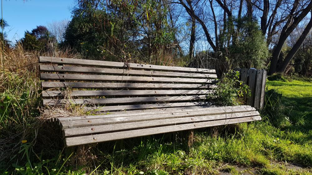
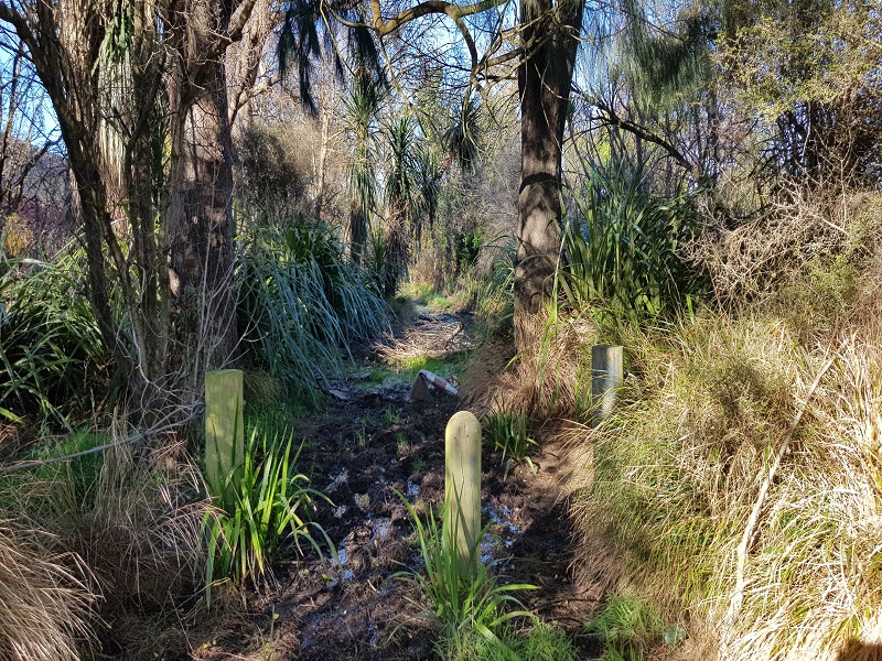
Now empty land with only significant plantings left “larger shrubs and trees” creating a park like feel although with closer inspection the boundaries of each house can be seen by following the trees and other plants that used to border each home.
For some reason a number of areas were fenced off however common sense seemed to come into play at some stage, as this process appeared to be stopped and access is only restricted to vehicles. Although the fences have remained access is usually open from areas where the project ceased.
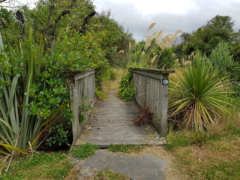
This means there is plenty land to wander through a lot of it following the Avon River adding to the overall experience.
Along with the significant plantings roadways and footpaths remain slowly being reclaimed by nature there are a few still accessible by vehicle though.
Official Walkway
The first stage of Te Ara Ōtākaro - a 12km riverside trail for walkers, runners and cyclists was completed in October 2017. Now this shared use trail is a transitional walking and biking track along the Avon/Ōtākaro River. So you can explore the banks of the river on a mix of shingle and closed roads spanning from New Brighton to the city centre.
This trail now has a reported distance of 11 km and is recommended to allow around 2 hours 30 minutes each way if you choose the full length.
Dogs are allowed only Under Effective Control only and it is a shared use track for bikes and walkers.
Starts Cambridge Village Green, corner of Barbadoes Street and Cambridge Terrace and finishes at Pages Road.
Care and responsibility of the land appears to be under endless consultation and as is what the long term plans will be. Submissions have been taken from the public and some people assume it will be a generation in the making before they see the result.
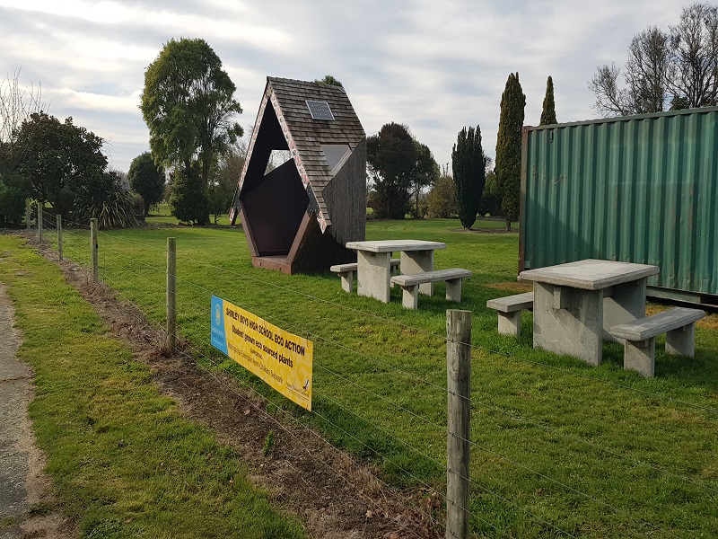
However in the meantime there are volunteers getting stuck in to improve the land for people to use some officially organised some not.
Avon-Ōtākaro Network is a network that is well organized with an agenda and clear about their objectives in improving the Red Zone.
Others have done it on their own such as Brian and Colleen Fairbairn who had been tirelessly caring for a sizable part of the red zone in Christchurch for some years. Mostly at their own cost as Brian said he is just getting on with it every week you would see Brian working away building clearing or mowing vast areas of land making this part of the Red Zone look like a well-cared for recreation area "that was until the council contracted it out someone else".
Also check out Horseshoe Lake Reserve Christchurch which borders the Red Zone and before the earthquakes had a fantastic walkway.