


Bridle Path Walk
The main access to the Bridle Path and nearby tracks is from the gondola car park in Heathcote, Barnett Park car park, the Summit Road, and Evans Pass Road. Some car parking is available at either end of the closed section of Summit Road.
Be prepared this is a hill and you will be in for a good workout as it is a steep walk however once at the top views from the summit are well worth the effort.
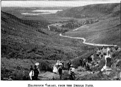
As you walk up you will see what remains of Castle Rock to the west and the massive boulders strewn down the hillside in the Christchurch earthquakes. There are a number of memorial seats on the way up and a stone shelter at the top to commemorate the pioneer women of Canterbury.
At the Summit Road take on the panoramic view over Lyttelton Harbour with Banks Peninsula's highest peak, Mt Herbert (Te Ahu Pataki) rising above the small settlement of Diamond Harbour that many people commute to Christchurch from.
You want to head back the same way you came up or follow the Crater Rim Walkway in either direction or continue on to Lyttelton.
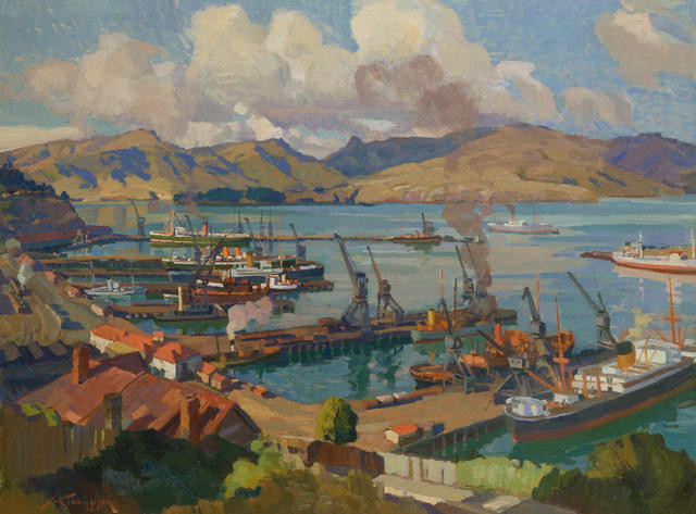
The track to Lyttelton descends steeply before joining up with Bridle Path Road. If it is a Saturday take time to visit the Lyttelton Farmers Market. Lyttelton is a port town unique in its own way and will one day become a very popular spot as they open up the Warf to the public again.
Bus 28 will take you back through the tunnel to Heathcote near the Bridle Path car park.
Bus 28 will take you back through the tunnel to Heathcote near the Bridle Path car park.


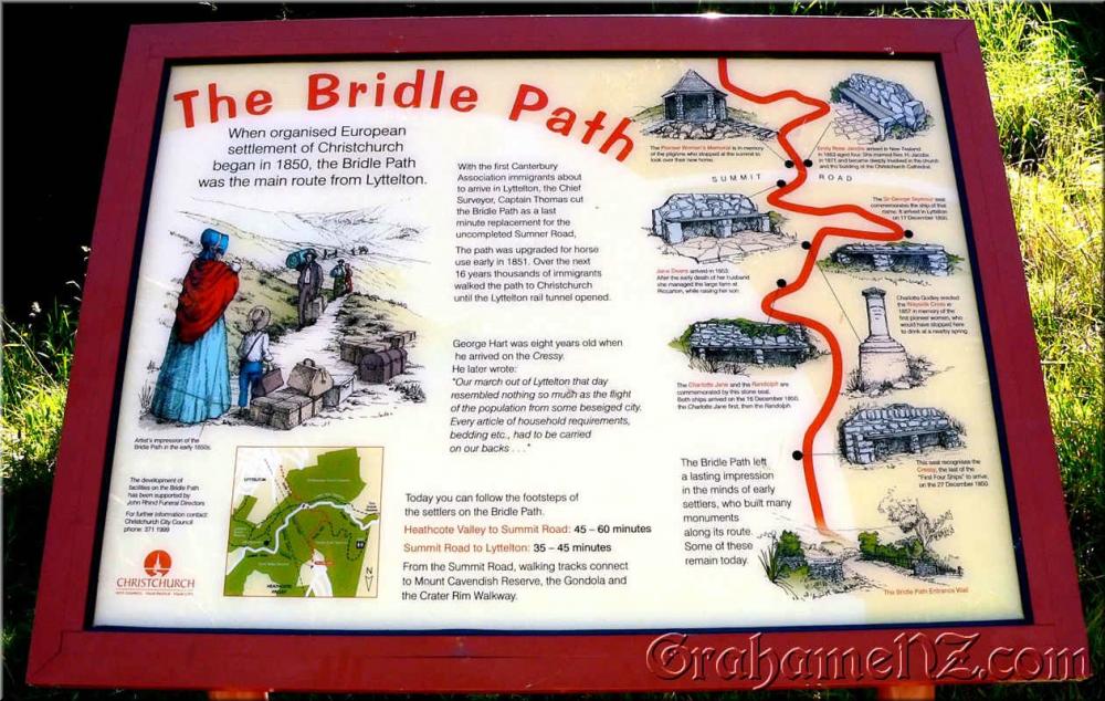
History
The First Four Ships carried Canterbury's first settlers.
The Charlotte Jane anchored at Lyttelton at 10am on Monday, December 16, 1850, with 154 passengers on board. The Randolph arrived at 3.30pm, with 217 passengers. The Sir George Seymour anchored at 10am the following day,with 227 passengers and finally the Cressy arrived on December 27, with 155 passengers.
The Bridle Path was cut during September and October 1850 by Captain J. Thomas.
Settlers made constant use of the Bridle Path until the opening of the Sumner Road to Lyttelton via Evans Pass in 1857 and the Lyttelton rail tunnel in 1867.
The early settlers carried most of their belongings over the hill, the horses had to be led on the bridle up the track to the summit hence the name, Bridle Path.
Heavy goods were transported by boat down Lyttelton harbour, across the notorious shallow bar of the Sumner Estuary and then up the Avon River.